
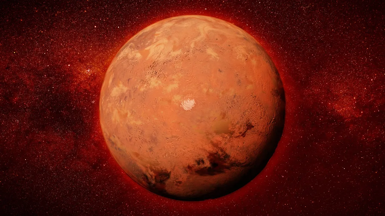
A mesmerizing new satellite video has taken both scientists and space enthusiasts on an unforgettable journey across Mars — soaring through a labyrinth of valleys, ridges, and canyons stretching nearly 1,000 miles across the planet’s surface. The newly released footage, created from real orbital data, offers an awe-inspiring view of a landscape that once thundered with torrents of water, revealing yet another chapter of Mars’ long and turbulent geological history.
A Planet Etched by Water and Time
The video focuses on a region known as Xanthe Terra, one of Mars’ most geologically intricate areas. Here, the planet’s surface is scarred by a web of deep-cut channels, ancient floodplains, and winding ridges — features that, together, resemble a massive maze from orbit.
These channels, called outflow valleys, are believed to have formed billions of years ago when catastrophic floods tore through the Martian crust. Among them, Shalbatana Vallis stands out as one of the most dramatic examples. Stretching over 800 miles, it cuts through the highlands and empties into the northern plains, marking a boundary between two very different regions of Mars — the rugged, heavily cratered south and the smoother, low-lying north.
The video traces this natural divide, gliding above terrain shaped by immense geological forces. Every twist and turn of the canyon walls tells the story of violent floods, shifting tectonics, and slow erosion under alien skies.
Bringing Mars to Life: How the Video Was Made
The stunning flyover was created using data from the Mars Express spacecraft, a European Space Agency mission that has orbited the Red Planet since 2003. Scientists combined stereo images captured by the orbiter’s High Resolution Stereo Camera (HRSC) to build a 3D digital model of the Martian surface.
By processing pairs of images taken from slightly different angles, researchers were able to calculate topographical depth and elevation, creating a detailed virtual map. Then, using advanced rendering techniques, they produced a cinematic flight path that mimics what it might feel like to glide hundreds of meters above the planet.
What makes this visualization remarkable is that it’s not an artist’s interpretation — it’s based on real surface data. Every hill, crater, and valley corresponds to an actual location on Mars. The lighting, texture, and scale are meticulously reconstructed to match the physical characteristics of the Martian terrain.
The Geological Secrets Hidden in the Maze
At first glance, the Martian maze looks like a chaotic tangle of dried riverbeds. But to geologists, it’s a carefully preserved record of the planet’s ancient climate and hydrology.
Billions of years ago, Mars likely had liquid water flowing across its surface — perhaps even seas or lakes in low-lying basins. The channels seen in the video are remnants of this wetter era, when massive floods erupted from underground reservoirs or melting ice sheets.
Several features hint at this history:
- Eroded Valleys and Deltas – The smooth, U-shaped channels and sedimentary fan structures suggest the presence of long-lasting water flow.
- Layered Ridges – The alternating strata reveal cycles of flooding and drying, possibly linked to changing Martian seasons or volcanic activity.
- Impact Craters and Collapse Zones – Craters scattered across the region show where asteroids reshaped the landscape, sometimes opening fractures that released buried water or ice.
These clues indicate that the planet’s surface once underwent dramatic environmental changes — transitions between cold and warmth, wet and dry — perhaps similar to Earth’s ancient epochs.
Why This Discovery Matters
While scientists have known about Martian outflow channels for decades, this new visualization offers a holistic, bird’s-eye view of how these systems interconnect over vast distances. It provides insight into how water once moved across Mars, potentially forming temporary lakes or even oceans in the northern lowlands.
More importantly, these valleys could hold evidence of past habitability. If water persisted in these regions long enough, it might have created environments suitable for microbial life. Sediments along these channels could preserve minerals or organic molecules — time capsules of Mars’ biological potential.
NASA and ESA scientists have already identified Shalbatana Vallis and neighboring channels as potential landing sites for future missions, given their combination of geological diversity and ancient water signatures.
The Challenges of Martian Exploration
Despite the stunning clarity of the new video, there are still many mysteries buried beneath the Martian surface. Dust storms, erosion, and billions of years of exposure have altered much of the original terrain. Determining how deep the ancient rivers once ran or how frequently they flowed requires more than orbital imaging — it demands ground-level data.
Future missions, including rovers and landers, could sample sediments directly from these valleys to analyze their composition and structure. Instruments capable of drilling into the subsurface might detect frozen layers or chemical traces that reveal how long water persisted and what conditions it created.
However, studying such immense regions poses logistical challenges. The maze-like terrain is rugged, riddled with cliffs and fractures, making safe landings and rover navigation difficult. Scientists must therefore rely on remote sensing — and stunning visualizations like this one — to fill the gaps.
A Bridge Between Science and Imagination
Beyond its scientific importance, the video is a triumph of visualization. It allows the public to experience Mars in a way that static images or topographic maps never could — to feel as though they are soaring through an alien canyon system, witnessing firsthand the remnants of an ancient, flowing world.
This approach not only inspires future generations of scientists and explorers but also bridges the gap between data and discovery. It transforms raw measurements into a story — one of planetary evolution, natural beauty, and human curiosity.
As humanity prepares for eventual crewed missions to Mars, such detailed digital mapping will play a vital role in selecting landing zones, identifying safe travel routes, and locating resources like subsurface ice.
A Window Into the Red Planet’s Past and Future
The 1,000-mile maze showcased in the video is more than a geological wonder — it’s a key chapter in the story of Mars. It speaks of a time when the planet’s surface was alive with movement: water carving valleys, volcanic eruptions reshaping land, and cosmic impacts rewriting its history.
Today, Mars stands dry and silent. But in these preserved river channels and ridges, scientists find echoes of a once-active world — a world that might have looked, in some ways, not so different from early Earth.
By soaring through this mesmerizing digital reconstruction, we are reminded of how much there is still to learn — and how, even from millions of miles away, technology can bring an alien landscape to life with stunning clarity and emotion.


Leave a Reply