
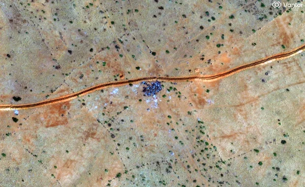
Khartoum, Sudan — New evidence from satellite imagery indicates that mass killings are continuing in Sudan’s Darfur region, highlighting the severe humanitarian crisis that has gripped the country. Researchers analyzing high-resolution satellite images have identified multiple clusters of objects consistent with human bodies across the city of El Fasher and surrounding areas, raising urgent concerns about widespread violence and atrocities.
The images, collected over the past week, show areas of heavy activity in neighborhoods, university grounds, and military sites, suggesting that large numbers of civilians may have been killed, captured, or forced into hiding. One particular district, Daraja Oula, shows signs of intense violence, with vehicles and disturbances visible in the imagery. By the end of October, the imagery indicates that few people remained in this area, reflecting the scale of the ongoing crisis.
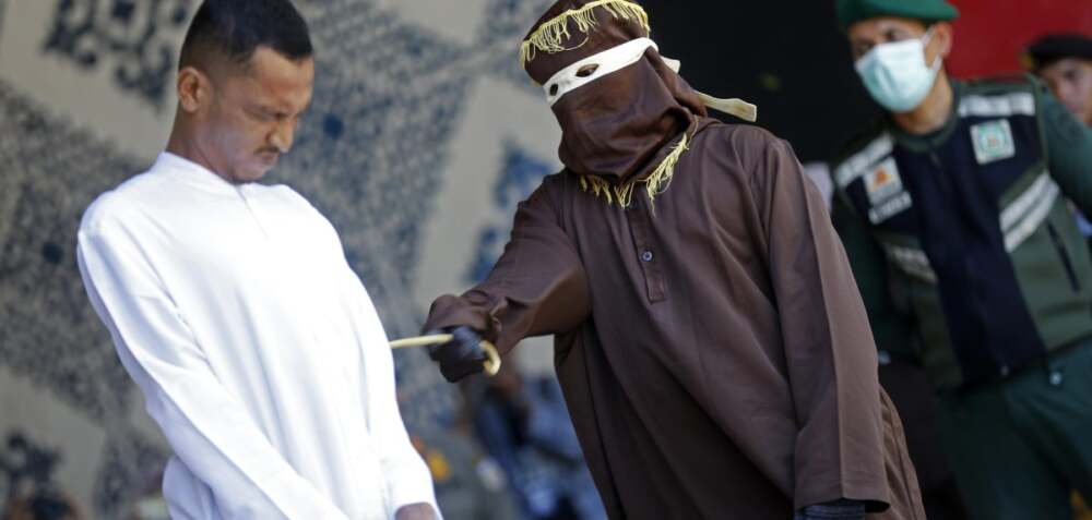
The violence follows the capture of El Fasher by the paramilitary Rapid Support Forces (RSF), which has taken full control of all five state capitals in Darfur. Since April 2023, Sudan has been engulfed in a conflict between the Sudanese Armed Forces and the RSF, resulting in widespread displacement, destruction, and civilian casualties. Reports from the ground suggest that acts of sexual violence, abductions, looting, and summary executions have been carried out, compounding the humanitarian emergency.
The situation has been described as “apocalyptic” by international observers, with aid agencies warning that tens of thousands of civilians may be trapped in conflict zones without access to food, water, or medical care. Humanitarian organizations are calling for immediate intervention and safe corridors to evacuate civilians from affected areas.
Experts say that the use of satellite imagery is critical in documenting the conflict, particularly in regions where access is restricted due to fighting or security concerns. Such technology allows researchers to monitor real-time developments, providing crucial evidence of potential war crimes and human rights violations.
The conflict in Darfur, which has persisted for decades, has historically been marked by ethnic tensions, political instability, and the activities of militias. The resurgence of large-scale violence underscores the fragility of Sudan’s political landscape and the urgent need for international attention and intervention.
As the crisis continues, the international community faces mounting pressure to respond effectively, both to protect civilians and to hold perpetrators accountable. With communication lines cut and on-the-ground reporting limited, satellite imagery remains one of the few tools capable of revealing the true scale of the atrocities taking place.


Leave a Reply